• Skip to main content

Timsbury community website

Facilities, groups, parish council and business information for the village of Timsbury, near Bath

  • Home
  • Parish Council
    • About the Parish Council
    • Members & committees
    • Meetings
    • Policies & Procedures
    • Elections and Co-options
    • Finances
    • Communications
    • Activities & Responsibilities
    • Planning
  • Activities
    • Arts, drama & music
    • Children
    • Youth
    • Social
    • Events
    • Fitness, Health & Wellbeing
    • Sports & Games
    • Gardens, Food & Environment
      • Green Action Group
    • Walks
    • Churches
  • Hub Library
  • Facilities
    • Halls & rooms
    • Accommodation
    • Food & drink
    • Shops & Others
    • Schools & Childcare
    • Defibrillator
  • Live issues
    • Planning & Local Plan news
    • Major Planning Sites
    • Climate & Green Action
  • News
  • Village
    • About Timsbury
    • Gallery
    • Village plan 2009
  • Contact
  • Timsbury Letter
  • History
  • Search Timsbury website

North of the Village

Last updated: 24/03/2026

RETURN TO HISTORY MAIN MENU

Scroll through photographs of North Road, Lansdown View, the Avenue, Old Bloomfield, Tyning and Amesbury. Select a photograph below to see a larger version and to scroll through the other photographs. Depending on the resolution of individual photographs it may be possible to view a whole screen version.
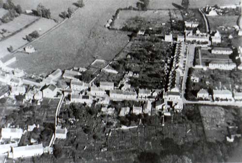
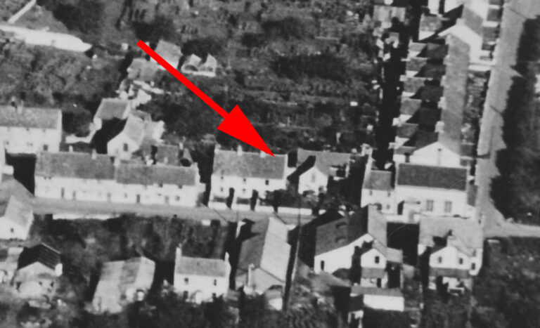
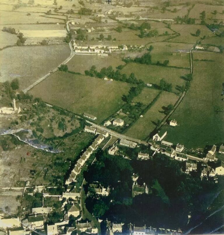
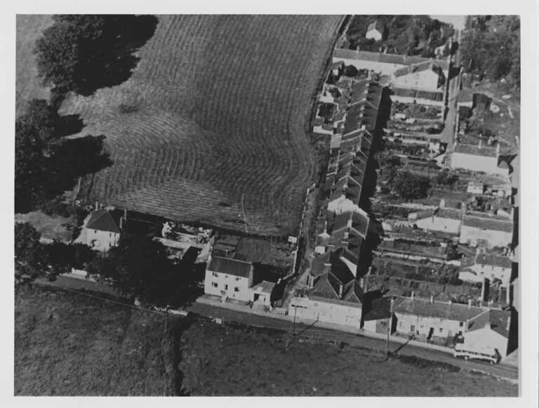
Aerial view of the north of the villageNorth Road
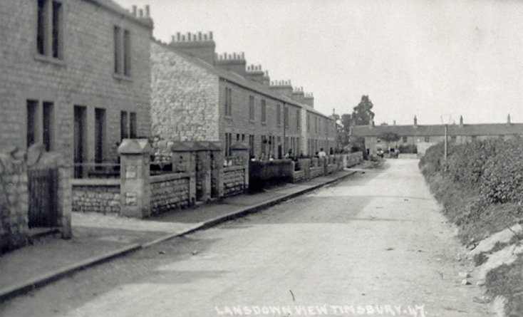
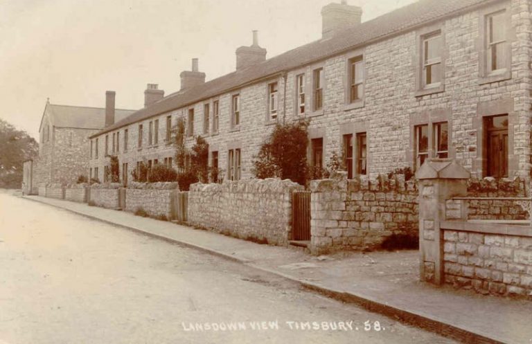
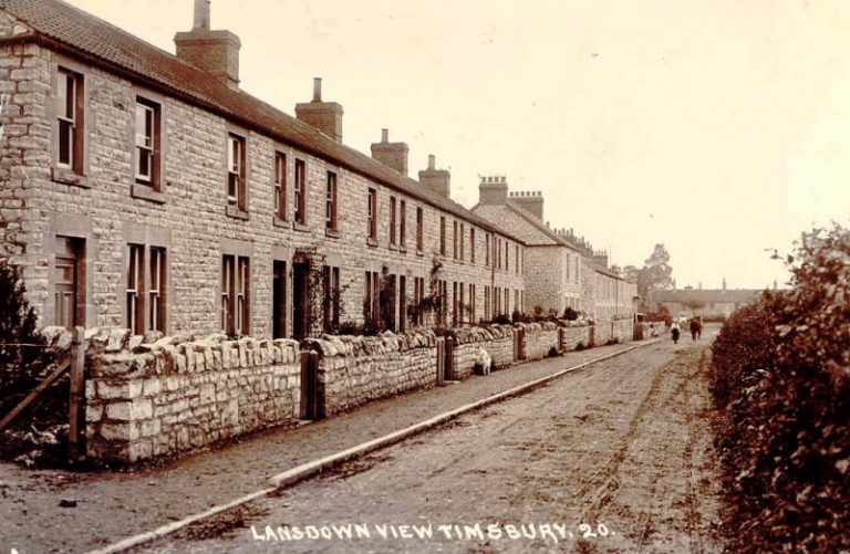
Lansdown View was built in the early 20th century. Originally the road was called Crookham Lane. Originally the whole area on which the houses were built was an orchard owned by the Flower family. In the 1911 census the majority of the inhabitants were mining families.Lansdown View
The school hasn't been built, which dates this photograph of Lansdown View to before the 1930s.Lansdown View
Lansdown ViewLansdown View
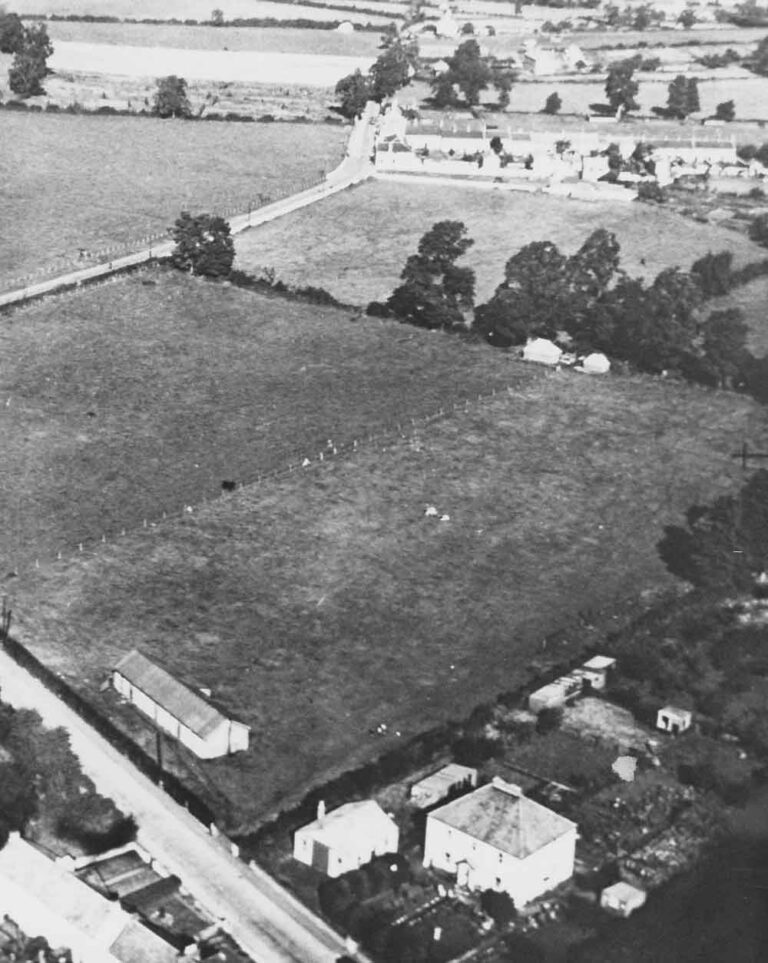
Aerial view of Timsbury County Secondary School in the 1930s.Timsbury County Secondary School
The building that the village knows today as St. Mary’s Church of England Voluntary Controlled Primary School first opened its doors near the end of August 1934 as Timsbury County Secondary School.Timsbury County Secondary School
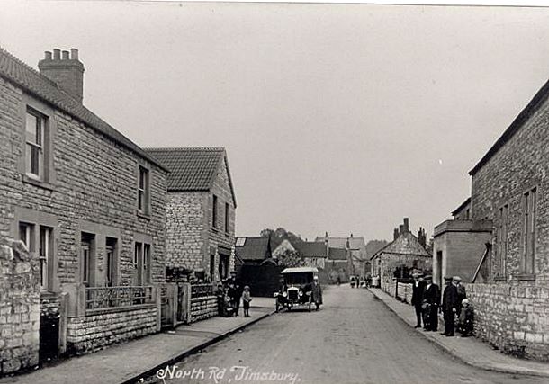
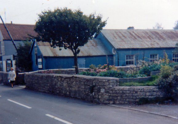
This picture shows the Co-Op before alterations to the front were made. The corrugated iron building next to the Co-Op later became the YMCA.North Road
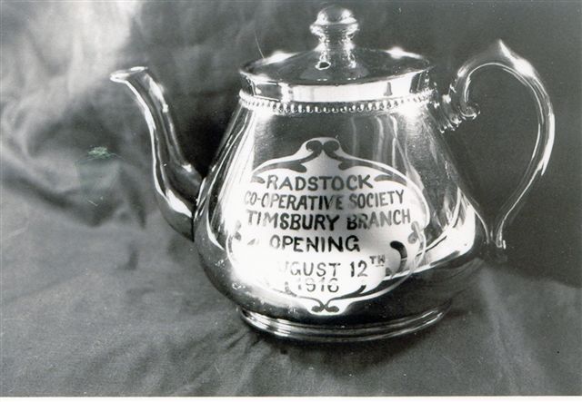
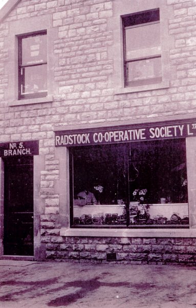
Early in 1916 a petition was signed by between 200 and 300 members of the Radstock Co-operative Society asking for a branch to be established in Timsbury. The proposal was supported by the committee and on August 12 the new branch was formally opened by its President Rev. G.A. Ramsay. The new building was said to be of a good substantial structure with the ground floor fitted up as general grocery department and the first floor being used for drapery, clothing, furnishing, hardware and tobacco. The Paulton Prize Brass Band played in front of the new branch premises and a marquee was set up in a field nearby where several hundred people enjoyed a grand tea followed by a public meeting.Opening of the Co-op on North Road in 1916
Memorial tea pot for the opening of the Timsbury Branch of the Radstock Co-operative Society.North Road
Radstock Co-op in North RoadNorth Road
The old YMCA Hall is on the former site of a second hand furniture store, later a boot and shoe repair shop which was then taken over as an Occupation Centre for the unemployed in the 1930s. It was extended and used until about 1960 as a hall for entertainments and dancing.North Road
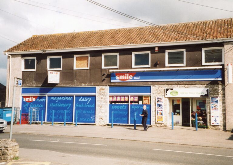
The original cottages on the site of Rono Place. The current building was originally built by Maurice Moon as a paint, wallpaper and building accessories store. Upstairs there was a joinery for his business. Also there was a showroom for kitchen and bathroom equipment. Subsequently it became a general stores run by the Kosmalahs, who came from Poland, and then became Plumbs before being taken over by Smile Stores, McColls and The Spar. The upper floor was used by DB Joinery then John Ashley's electronics business and later was used as a hairdressers - Overheads.North Road
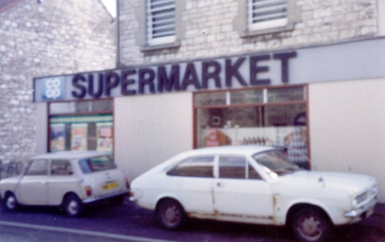
VG SupermarketNorth Road
The whole of the downstairs is the Smile Stores.North Road
The building as McColls.North Road
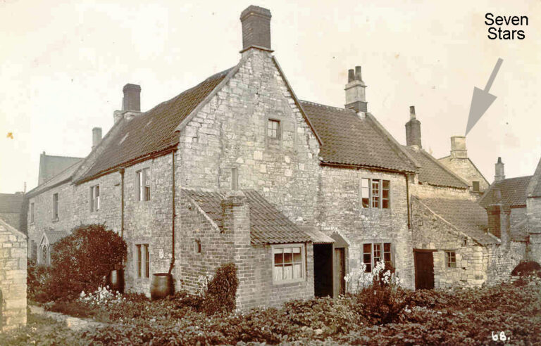
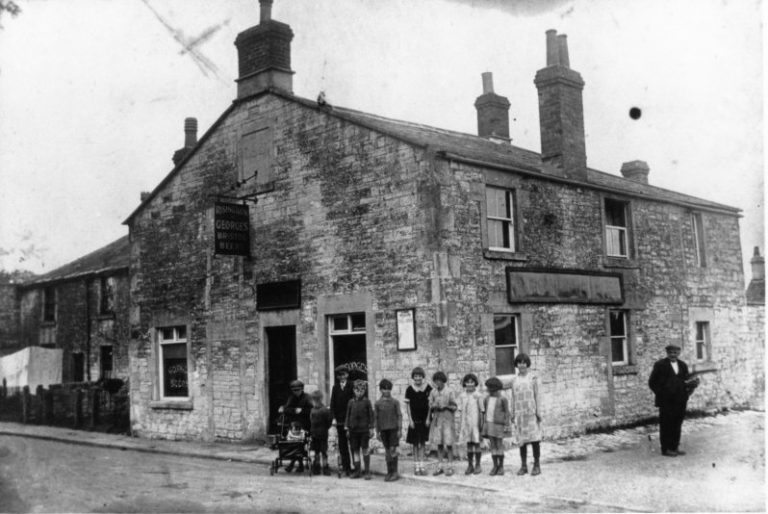
The Seven Stars has existed as a pub for many years. The building is described as a house and garden in 1784, owned by Thomas Flower. By 1840 it is owned by Jacob Flower and is described as House, Beerhouse, Garden and Premises. The pub was owned by the Welton Brewery in the 19th century. On 4 January 1919 the Bristol Brewery (George's) acquired the pub. This photo shows Mavis and and Dennis Bush outside the Seven Stars. Their parents ran the pub from 1935 and 1961. After Stanley Bush died, Dennis carried on running the pub for another 18 months.Mavis and and Dennis Bush outside the Seven Stars, in North Road
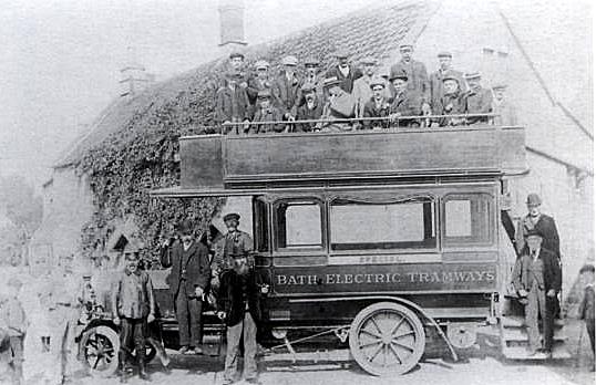
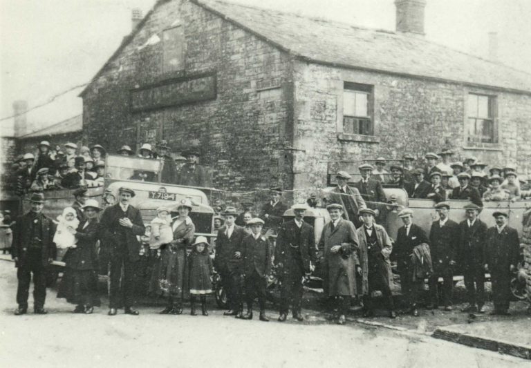
Outing from The Seven Stars. An open top bus outside the Seven Stars run by Bath Electric Tramways Ltd. The company operated electric trams in Bath between 1904 and 1939.North Road
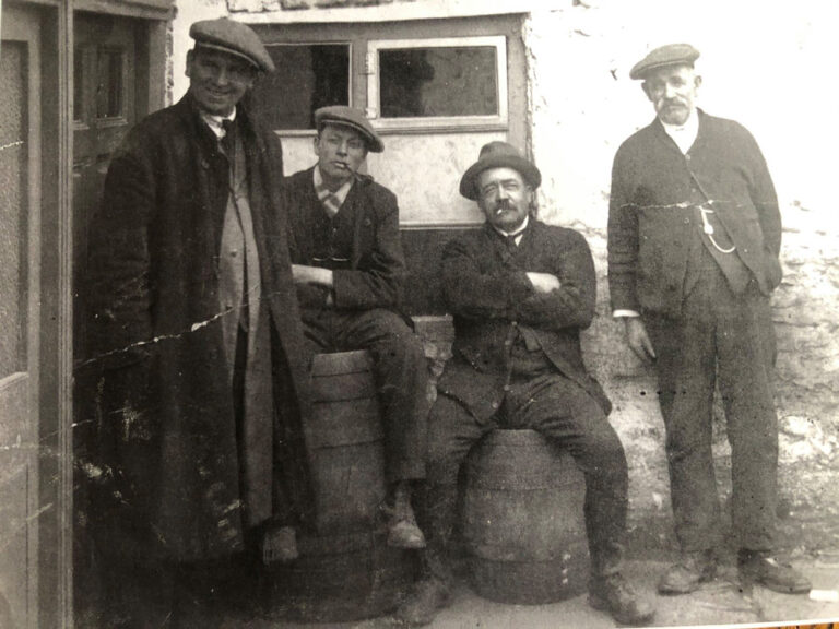
This is the old back door to the pub with the bar on the left as you went through the door. Alfred Humphries is second from the right. He ran the butchers in the High Street. Apparently he liked his spirits!!!North Road
A view from the rear of Gregory's former shop towards North Road It was a general store and taxi Service. Herbert Gregory is recorded for the first time in 1935 as having a general stores. He sold sweets and groceries. Next to the shop was a wooden building that sold fish and chips. Chris Gregory moved back in 1968. The grocery shop closed in the early 1970s. Subsequently the grocery shop became the office for Top Coaches, which was run for many years. The office closed in 2001/2.North Road
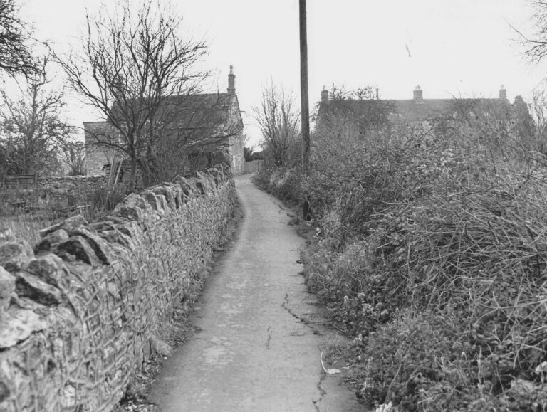
Chapel Walk also known as The Drung (which is local Somerset terminology for a drove road). Perhaps from Tabor Farm in North Road.North Road
Chapel WalkChapel Walk
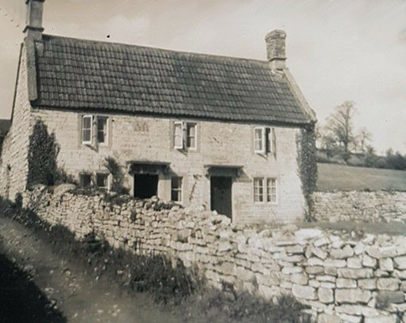
Crock Barton was originally a terrace of four cottages built around 1700. They were cottages for flax weavers. The buildings were derelict in 1985 but converted into two dwellings.Crock Barton
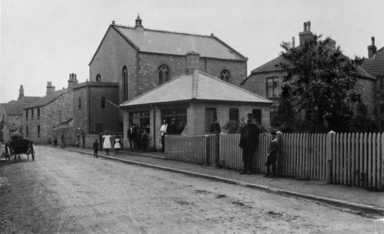
View of Tabor Chapel. The single storey building by the chapel was used as a parish office by Henry Cox when he was Overseer and Parish Clerk 1918-24.North Road
Tabor Chapel in North RoadNorth Road
View of Tabor Chapel.North Road
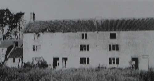
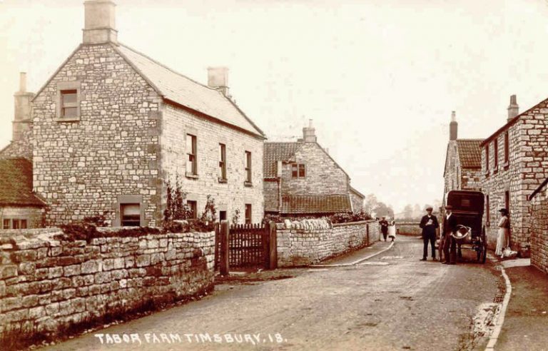
View looking east along North Road with Tabor Farm on the left.North Road
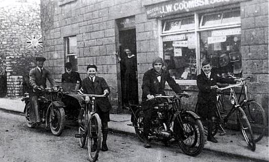
J W Coombs and Son cycle shop in North Road. L-R Sonny Coombs, unknown, Alec Tucker, Mrs Coombs, Percy Thatcher and Bill CoombsJ W Coombs and Son cycle shop in North Road
The addition of a large lean-to extension on the left hand side of Sonny Coombs' shop. Nelly Coombs and her son Bill standing outside the extension with hand operated pumps.North Road
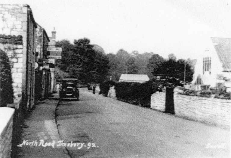
Car parked outside the Coombs's shop in North RoadNorth Road
Sonny Coombs at work on the site of the future Sunnyview. His son Bill and wife Nelly are watching.Sonny Coombs at work
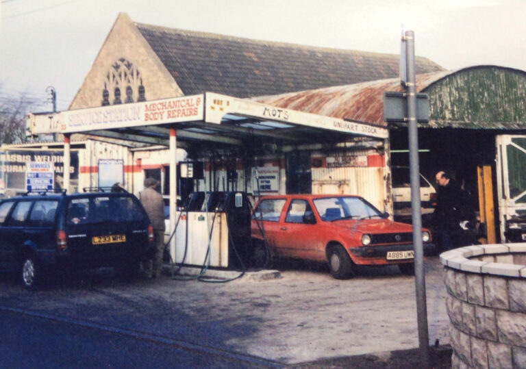
Timsbury Service Station dates from the 1940s and was originally owned by the Coombs family who had a cycle shop on the opposite side of the road. Sonny Coombs used to park his taxis there and serve petrol.North Road
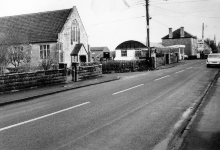
Congregational Chapel and Timsbury Service Station after Sunnyview was built in the late 1930s.North Road
After Bill Coombs and Doris Dix married in September 1935, Sonny Coombs had Sunnyview built for them on land acquired from Tabor Farm. Either then or in the next few years, he had what is now called Timsbury Service Station built. The petrol pumps that used to be at the cycle shop were moved across. The new garage with Bill Coombs.North Road
Timsbury Service StationNorth Road
An aerial view of the original Timsbury Service Station building.North Road
The Congregational Chapel on North Road was opened in 1928. The congregation was previously based in the chapel on Maggs Hill. Services ended at the chapel in the early 2020s.North Road
The Legion was originally the Church Hall. It was built in 1912 following five years of fund raising led by Rev Meade-King. It was used for church related activities, educational purposes and social events. In 1966 the Britsh Legion and the Church Hall swapped locations, with the Church Hall moving to South Road.North Road
The Church Room (The Legion)The Church Room (The Legion)
The Church Room (The Legion) was built in 1912. It was first thought of in 1907 when the bells of St Mary's Church were refurbished. Rev Yorke-Faussett worked hard to create a space where the youth of the village could meet and benefit from recreation and education and various meetings could take place.North Road
The Church Room (The Legion)North Road
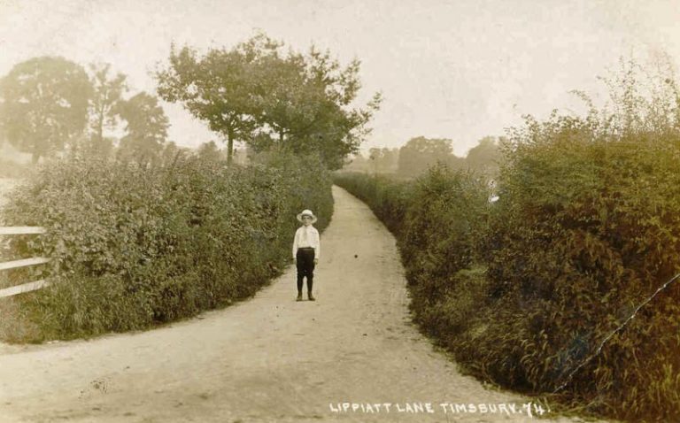
Lippiatt LaneLippiatt Lane
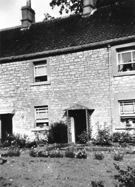
Conwil Cottage in Lippiatt Lane. In 1838 it was five Houses and a garden owned by Elizabeth Holbrook.Lippiatt lane
Aerial photo towards Bloomfield showing the remains of Upper Conygre Pit.Aerial view of the north of Timsbury
Aerial view of Timsbury, probably dates from 1950s. Remains of Upper Conygre Pit can be seen at crossroads on North Road.Aerial view of the north of Timsbury
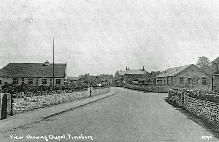
View of the Miners Welfare Hall on the site of Conygre Hall and The Recreation Ground.North Road
View of Miners Welfare Hall with Upper Conygre Pit batch in the background.Miners Welfare Hut
View of The Sleight from the Recreation Ground.The Sleight
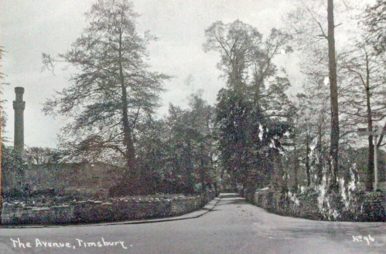
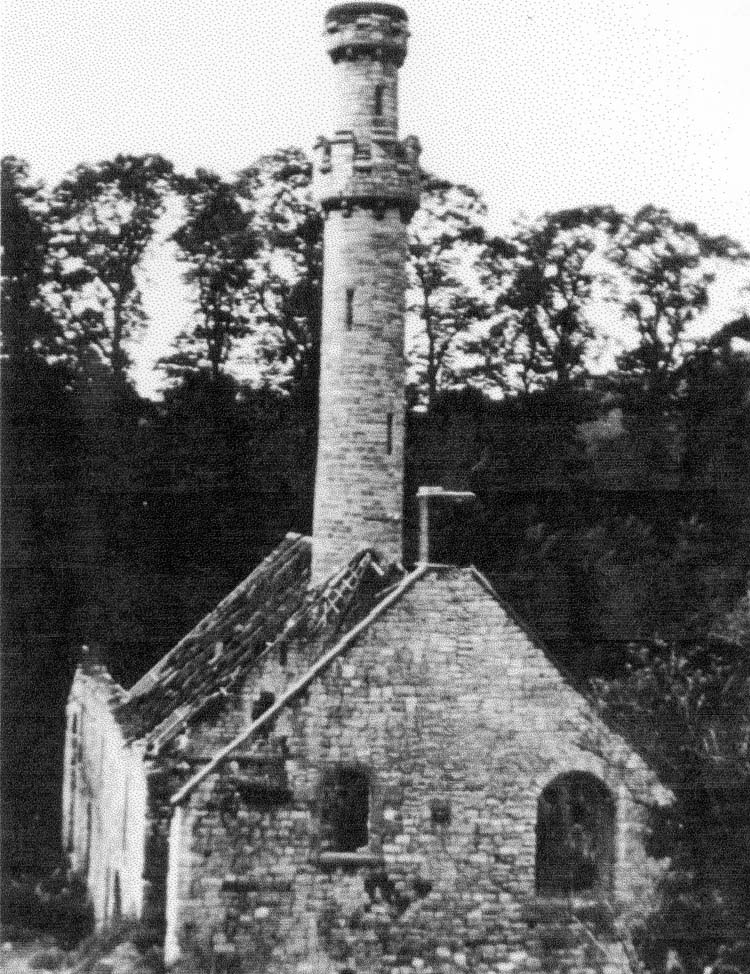
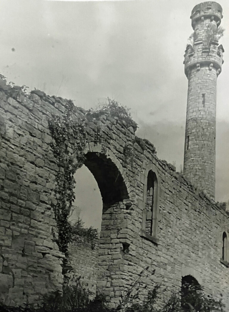
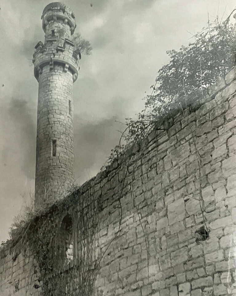
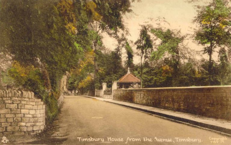
Coalpit Crossroads in the 1920s. The crenellated chimney of Upper Conygre Colliery can be seen. It was designed that way to make it acceptable to the inhabitants of Timsbury House. The trees on the right of Upper Conygre Colliery were also grown to provide a screen for Timsbury House.Coalpit Crossroads
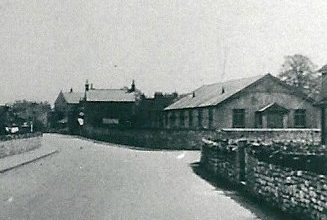
A similar view as the previous photo.North Road
The first shaft at Upper Conygre Pit was sunk in 1791. It was at this pit that the largest lump of coal was raised - 25 cwt.Upper Conygre Pit
Derelict remains of Upper Conygre PitUpper Conygre Pit
Wheeler's Concrete Products at the site of Upper Conygre Pit.North Road
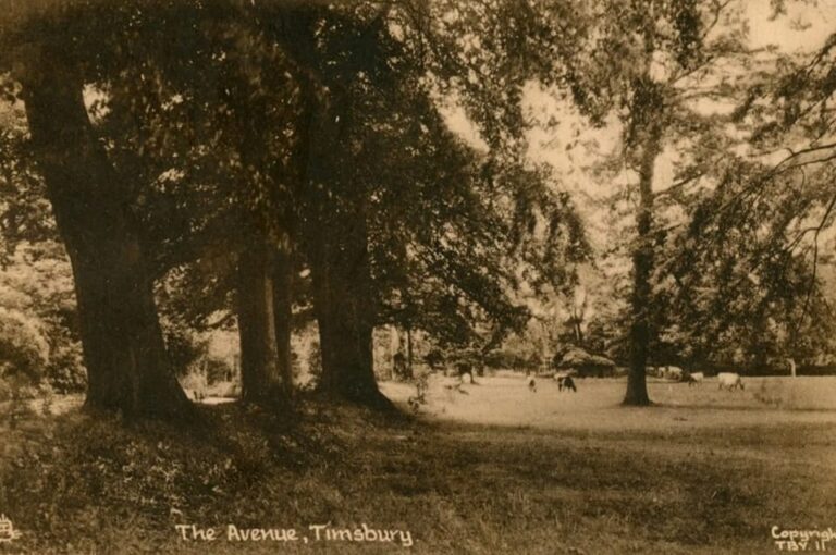
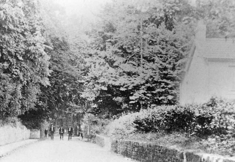
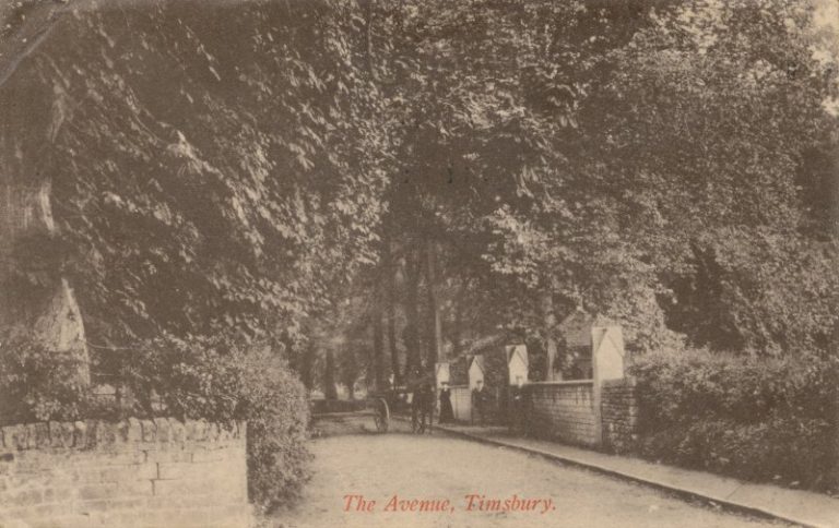
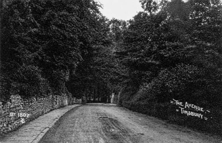
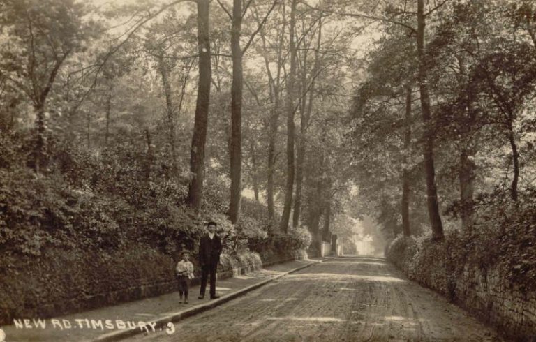
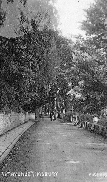
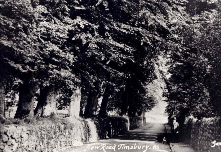
A photograph showing the route of the Avenue before the diversion of the road in 1837 to the present day route.The Avenue
The Avenue with the entrance to the Ha Ha on the left.The Avenue
Another view from the 1950s showing the sunken section of Ha-Ha close to the bridge on which was the drive to Timsbury House.The Avenue
A view along Ha Ha towards The Avenue in 1950sThe Avenue
The entrance to the cemetery in the Avenue. In 1898 the Lord Bishop of Bath and Wells consecrated an additional churchyard (the cemetery) for the village. The new burial ground which had been a gift by the Samborne's of Timsbury House.The Avenue
The AvenueThe Avenue
The Avenue
A false boundary wall to Upper Conygre Pit was built which comprised of two parallel stone walls not far apart, the space in-between the two walls was infilled with small pieces of coal and trees were planted on the top to block the view of the pit from Timsbry House. Years later, part of the stone façade of the wall tumbled down revealing the coal infill. During a strike, miners took the coal from the wall to burn at home and much of the wall disappeared.The Avenue
The AvenueThe Avenue
Tom Evans, who served 45 years as the village postman, at his house in The Avenue in 1911.Tom Evans at his house in the Avenue
Hayswood RoadHayswood Road
Sleight Farm dates from the 1830s. It is suggested that the farm was built from the stone of the Dower House that used to be close to Timsbury House. It was owned by the Sambornes for many years and occupied by tenant farmers.Sleight Farm
View towards Old BloomfieldBloomfield
Aerial view of old BloomfieldBloomfield
Outing from the Rising Sun, Bloomfield.Bloomfield
The Rising Sun in Bloomfield, now the site of a house called The Forge.Bloomfield
The Black Dog Darts Team. The Black Dog was another name name for the Rising Sun in old Bloomfield.The Black Dog Darts Team at the Rising Sun in Bloomfield
George Moss ran the Rising Sun for many years. He had lost an arm in WW1 and he always sounded the Last Post in St Mary’s Church on Remembrance Sundays. He had a picture of his pet dog on the wall – hence the name Black Dog for the pub.Bloomfield
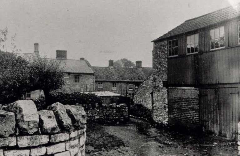
On the right is the old Bloomfield Mission Hall. The Dove and the bakery were in the buildings in the background.Bloomfield
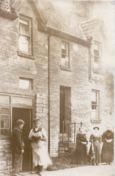
Job Dascombe's boot and shoe repair Shop at Bloomfield.Bloomfield
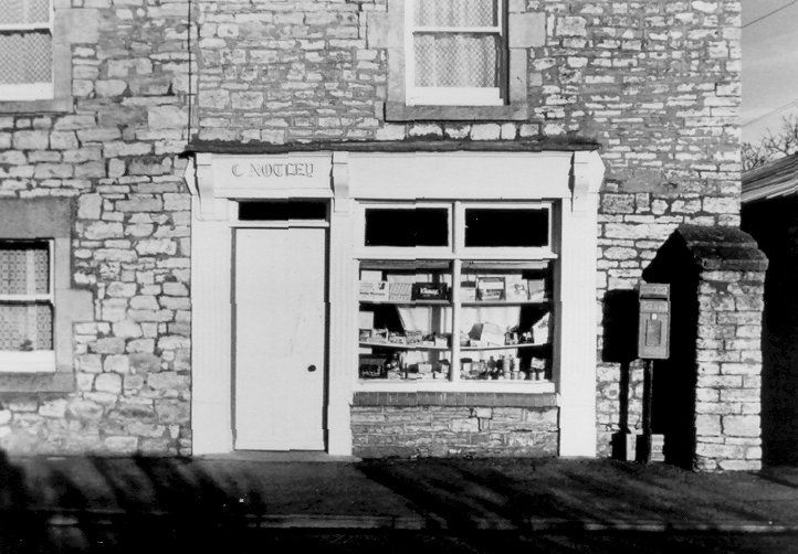
Clarice Notley's Shop on Timsbury Road. Clarice sold sweets, food and cigarettes. It became a shop in about 1935, before then the building was derelict.Bloomfield
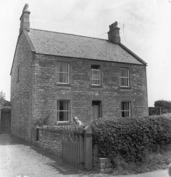
Escott HouseEscott House
Foundry CottagesFoundry Cottages
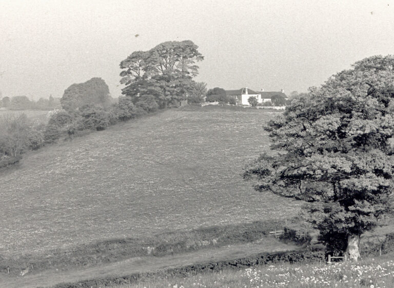
View towards Tyning from the end of the Ha Ha. The white building, Somerset Cottage, was the Tyning Inn up until 1927. The area to the left in the tall trees, was the site of a building called the Fort.Prior’s Hill
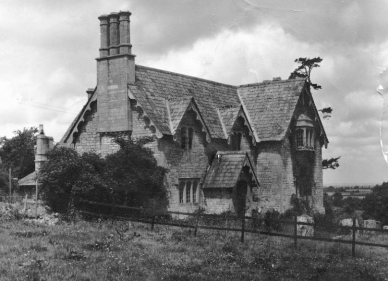
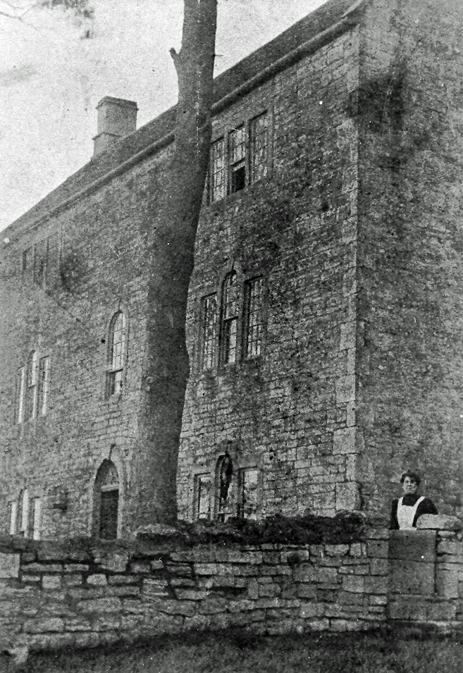
This building used be called The Fort. It was engulfed in a significant fire in 1928 and remained a ruin for many years.Tyning
Three Chimneys at Amesbury in 1948. The house was built by Thomas Amesbury in 1771.Amesbury
Three Chimneys at Amesbury in 1948Amesbury
RETURN TO HISTORY MAIN MENU

© 2026 Timsbury Parish Council, other than where separately stated · Site created by Picablue
Whilst every effort has been made to maintain accuracy, no responsibility is accepted for any errors in content - see Terms & Conditions
To report problems with the website, contact the webmaster