• Skip to main content

Timsbury community website

Facilities, groups, parish council and business information for the village of Timsbury, near Bath

  • Home
  • Parish Council
    • About the Parish Council
    • Members & committees
    • Meetings
    • Policies & Procedures
    • Elections and Co-options
    • Finances
    • Communications
    • Activities & Responsibilities
    • Planning
  • Activities
    • Arts, drama & music
    • Children
    • Youth
    • Social
    • Events
    • Fitness, Health & Wellbeing
    • Sports & Games
    • Gardens, Food & Environment
      • Green Action Group
    • Walks
    • Churches
  • Hub Library
  • Facilities
    • Halls & rooms
    • Accommodation
    • Food & drink
    • Shops & Others
    • Schools & Childcare
    • Defibrillator
  • Live issues
    • Planning & Local Plan news
    • Major Planning Sites
    • Climate & Green Action
  • News
  • Village
    • About Timsbury
    • Gallery
    • Village plan 2009
  • Contact
  • Timsbury Letter
  • History
  • Search Timsbury website

South of the Village

Last updated: 15/03/2026

RETURN TO HISTORY MAIN MENU

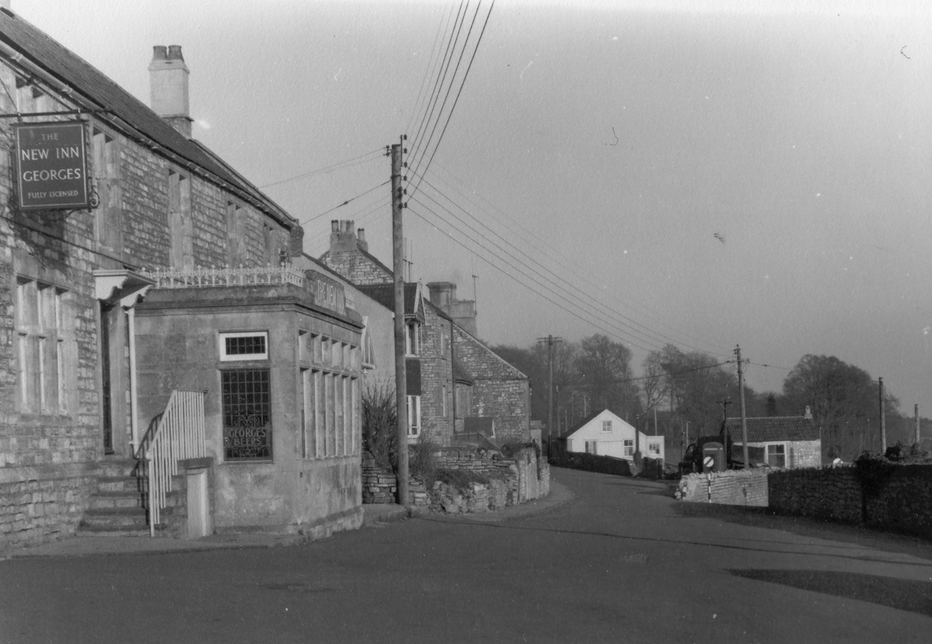
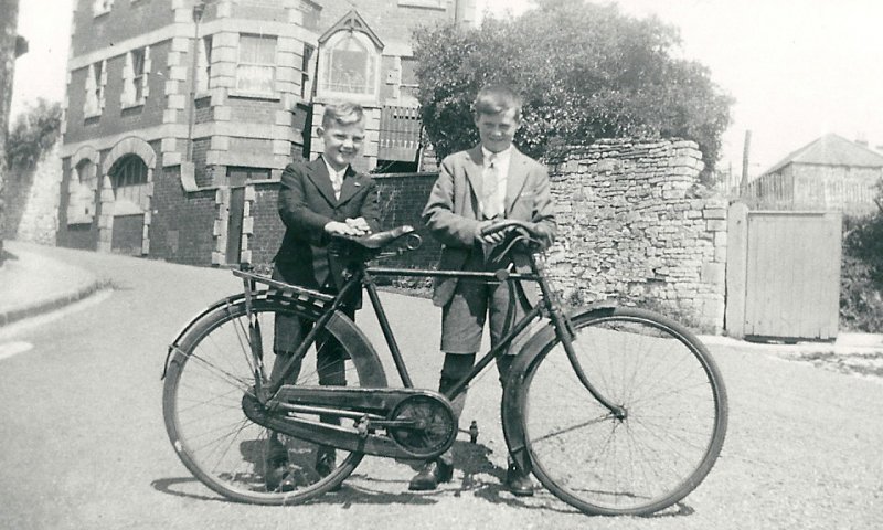
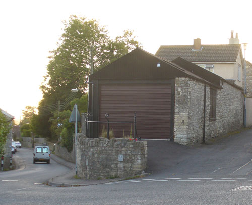
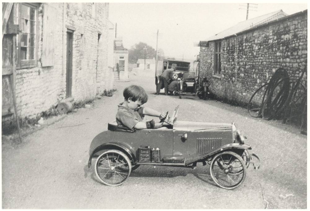
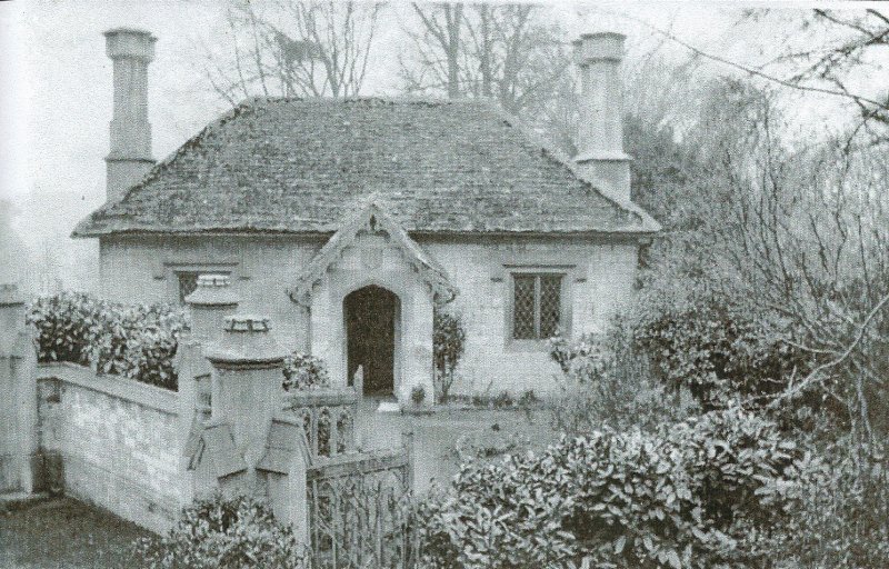
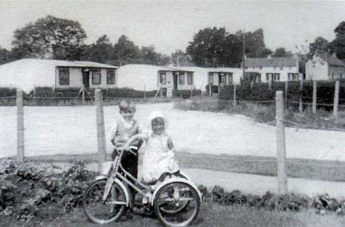
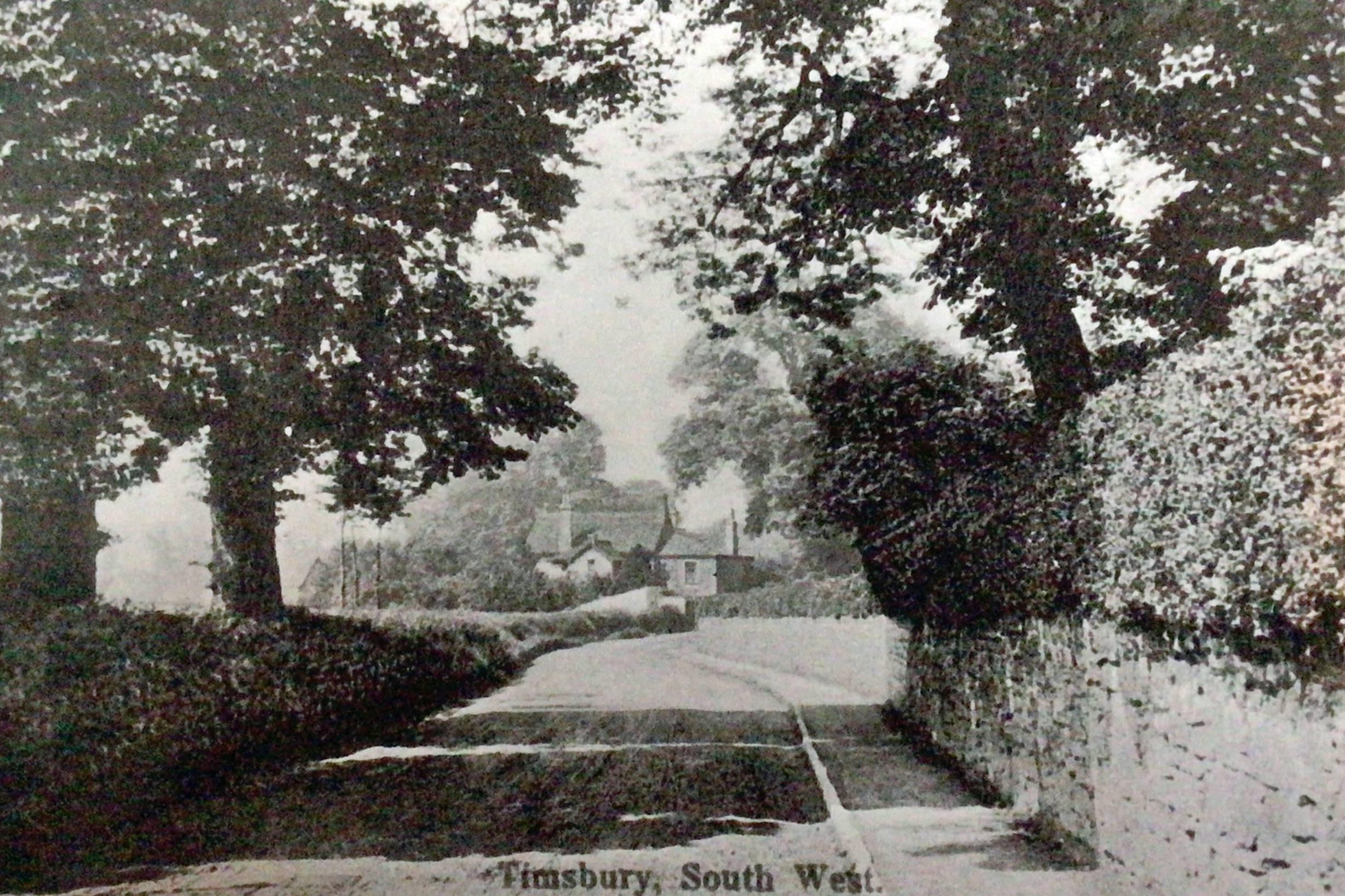
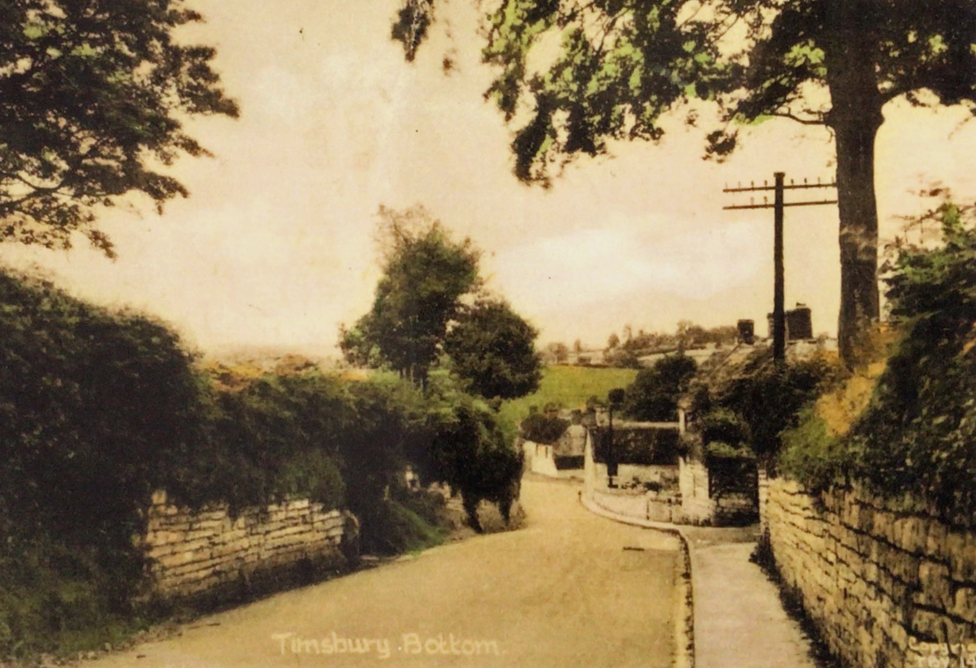
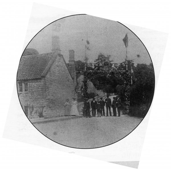
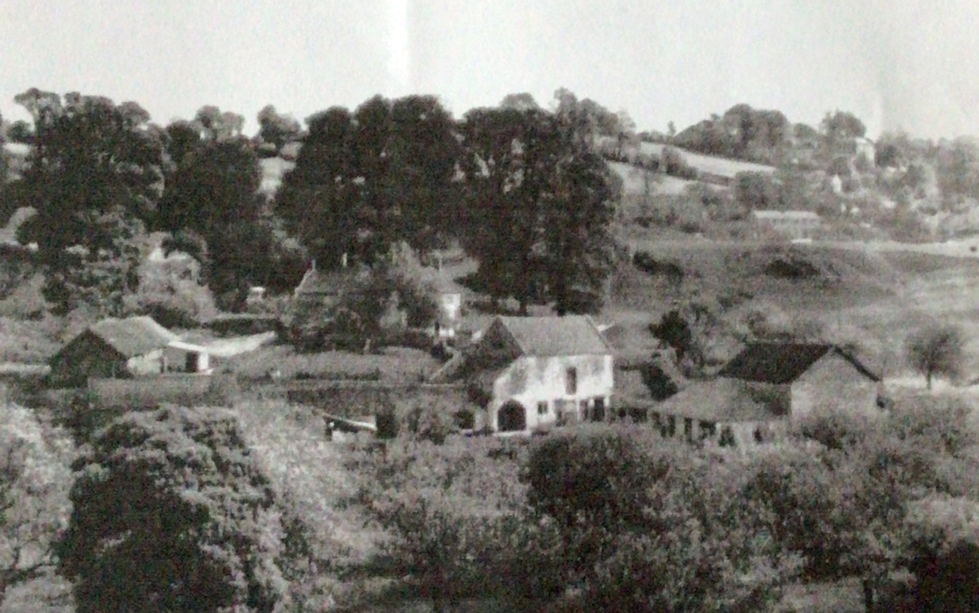
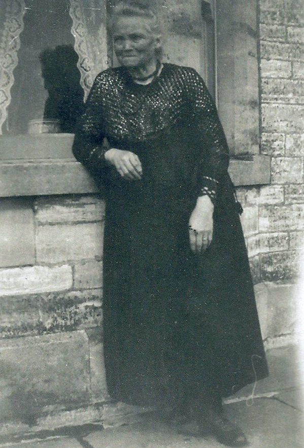
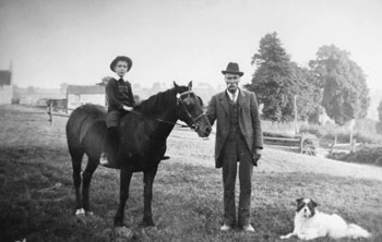
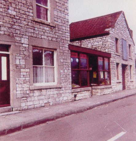
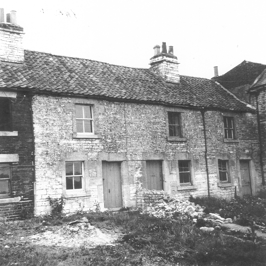
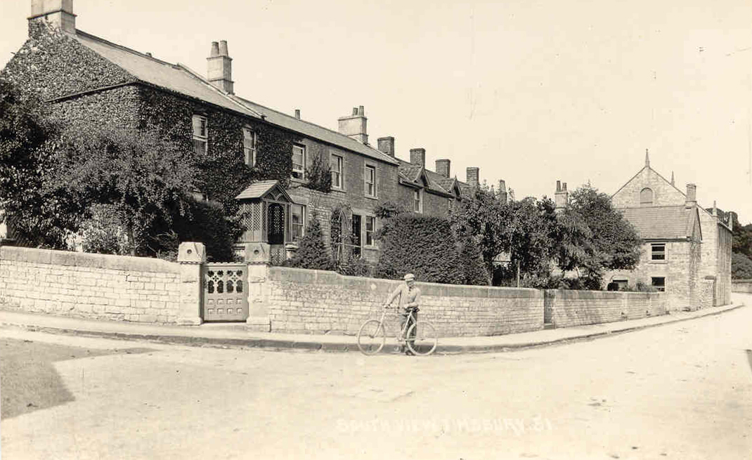
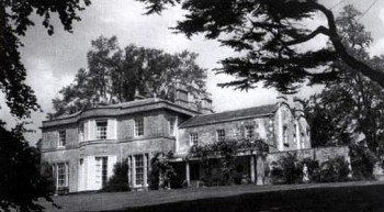
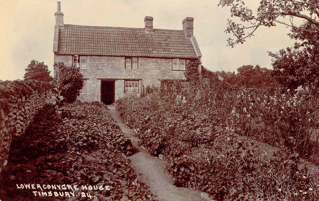
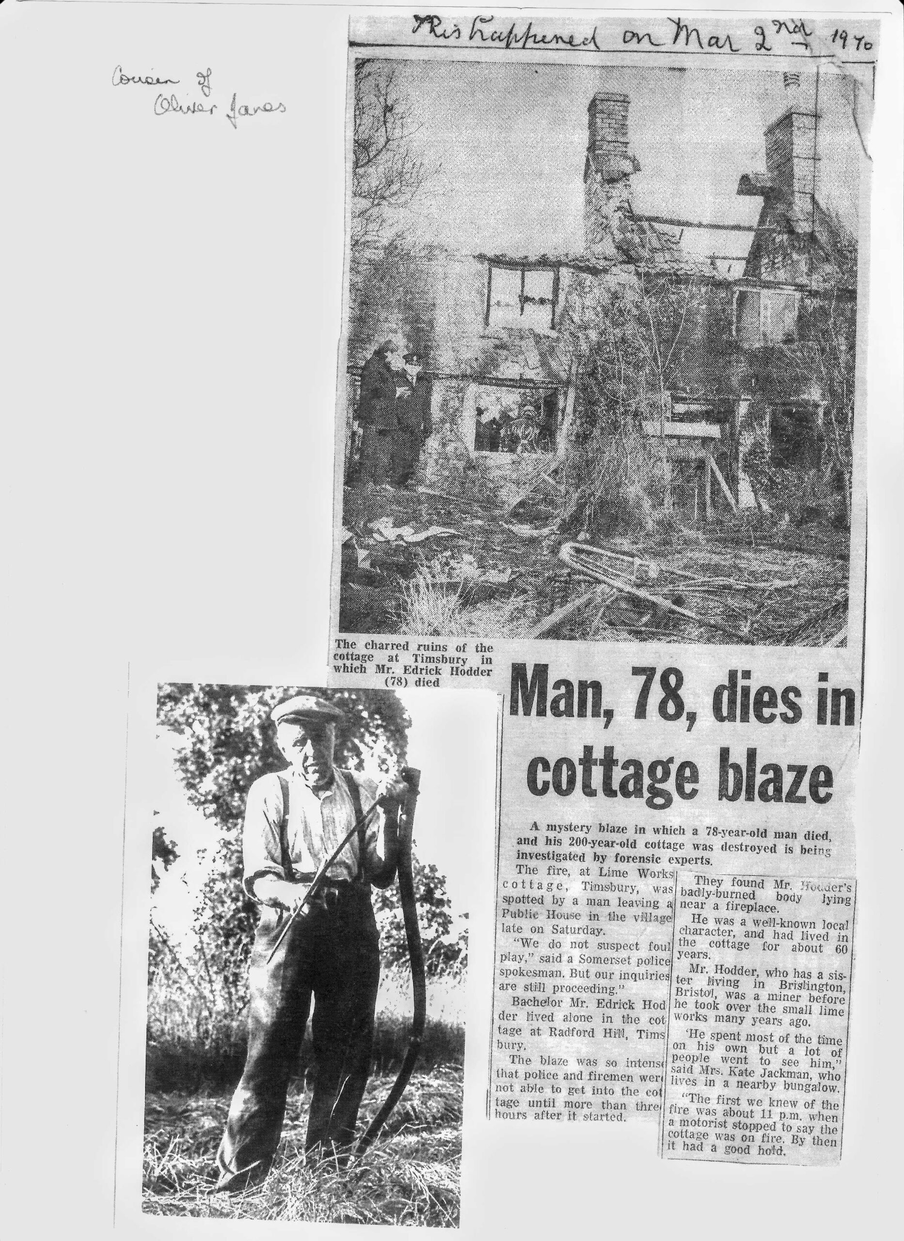
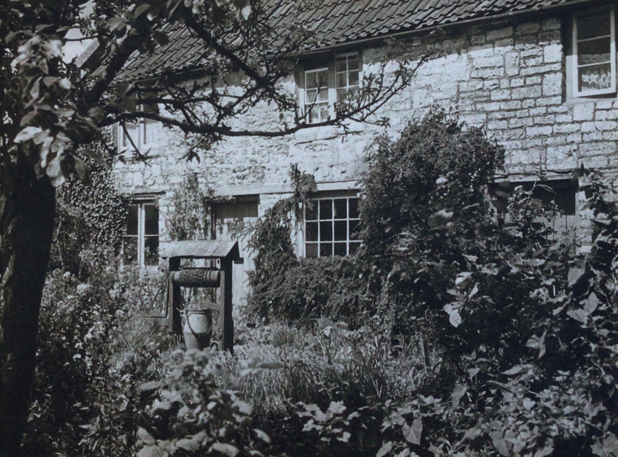
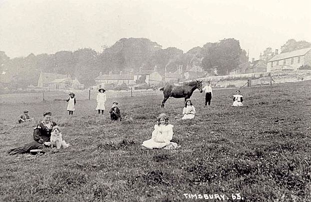
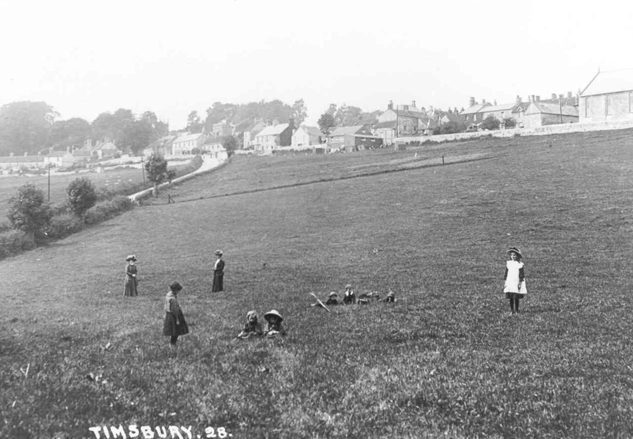
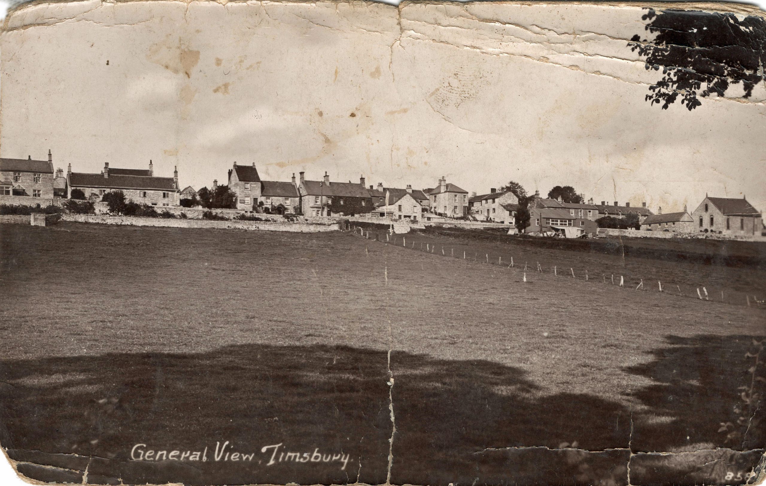
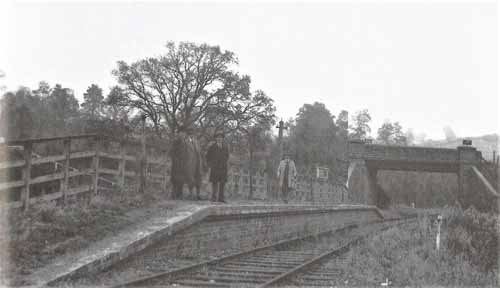
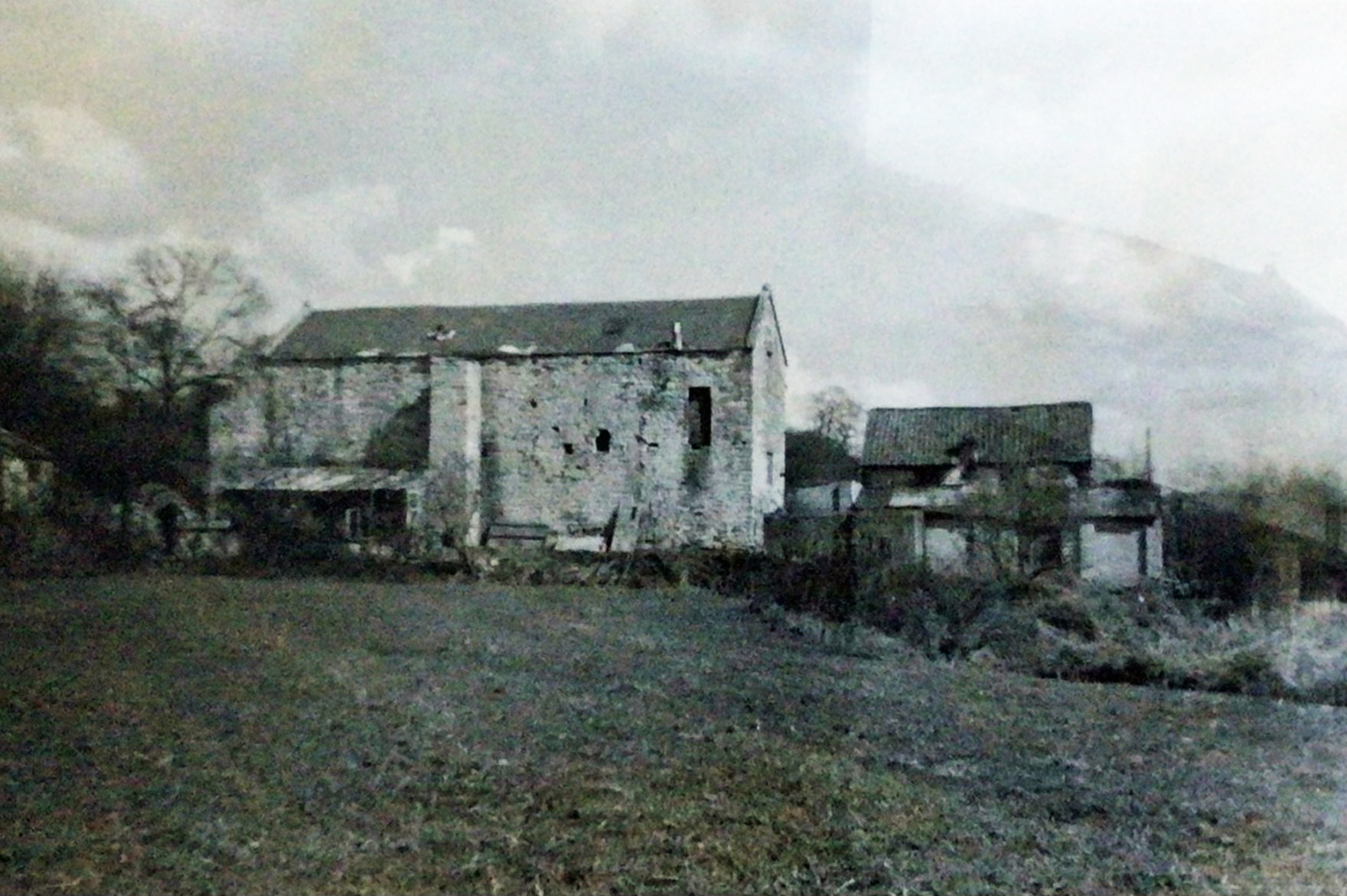
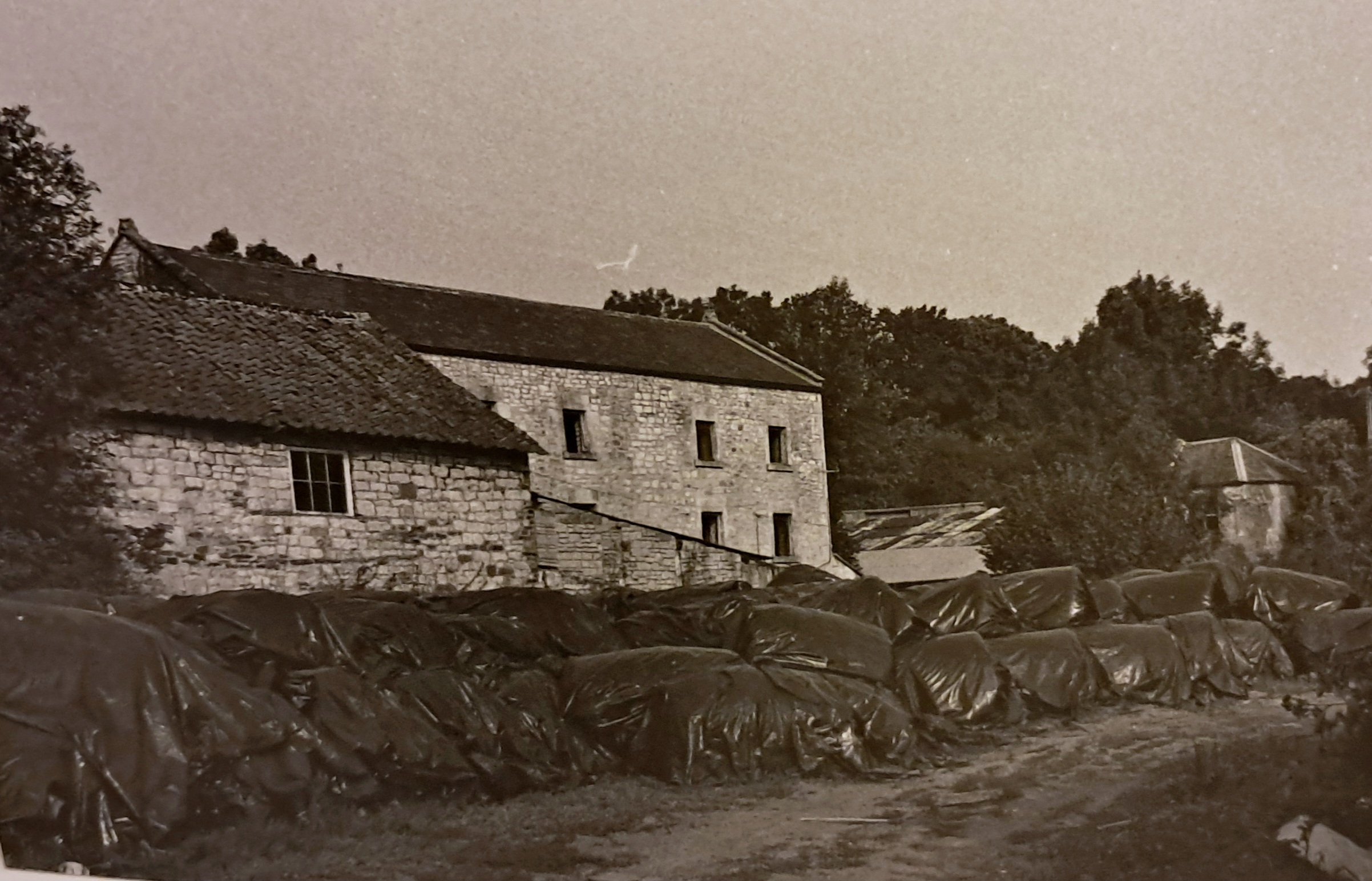
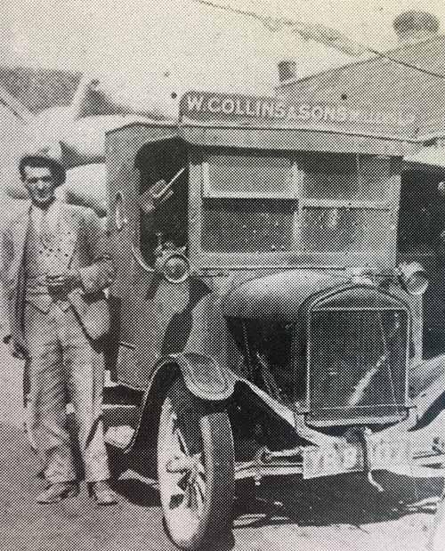
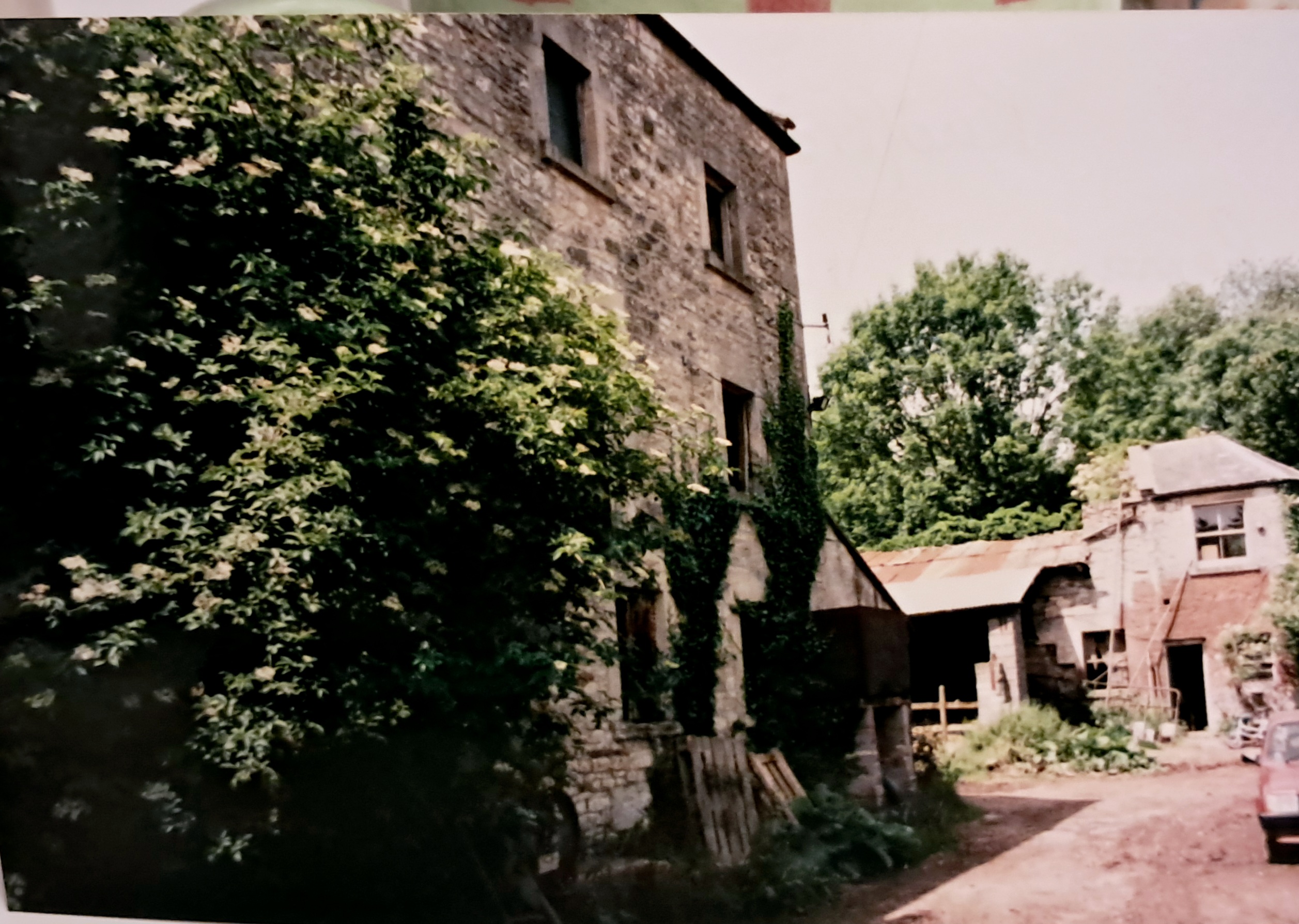
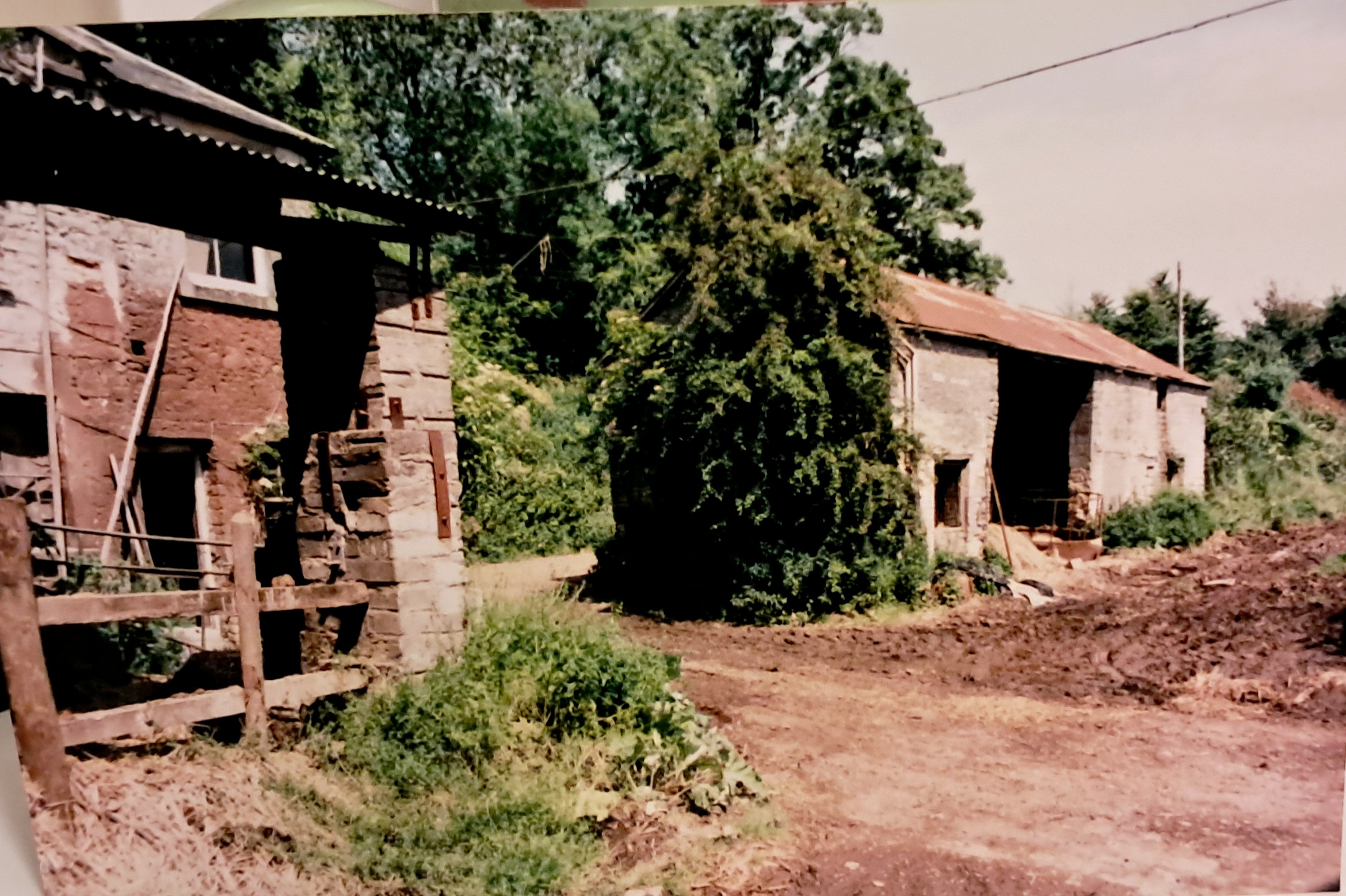
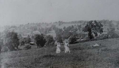
Scroll through old photographs of South Road, Timsbury Bottom, The Hook, the fields below South Road and Radford. Select a photograph below to see a larger version and to scroll through the other photographs. Depending on the resolution of individual photographs it may be possible to view a whole screen version.

View looking east along South Road and the New Inn (Guss and Crook).South Road
The New Inn (Gus and Crook) in South RoadSouth Road
South Road and Church HillSouth Road
South Road looking towards Church LaneSouth Road
Church Hill looking towards The Red Brick House. The Red Brick House was built by Howard Newth's father in the late 19th century. It was two storeys higher.Church Hill
View of Red Brick House on Church Hill. At this time the building has the original extra floor.Church Hill
Church HillChurch Hill
Two young boys on Church Hill. The one on the right is Jake Moxham son of the village blacksmith who worked himself at the forge in Church Lane. He was the brother of Rhona Moxham. The one on the left is Dennis Bush who became landlord of the Seven Stars.Jake Moxham and Dennis Bush on Church Hill.
The building on the corner of Church Lane was built by Arthur Frost in 1930. He lived in Cobblers Cottage further up Church Lane. He carried out cycle repairs. It is first recorded as such in the 1931 Directory. After WW2 it became a hardware shop run by his son Alec. It closed in the late 20th century.Church Lane
Frost's DIY Store in Church LaneChurch Lane
Frost's DIY Store after closureChurch Lane
This photograph was taken in the 1930s and is of Albert Ernest Moxham, blacksmith and his son Jake, outside the Forge in Church Lane.Albert Ernest Moxham and his son Jake in Church Lane
Jake Moxham in his toy Vauxhall car outside the forge.Jake Moxham in his toy Vauxhall car in Church Lane
The horse, with two of his children, Rhona and Jake, is being held by Ernest Moxham outside the Forge in Church Lane.Ernest Moxham with his children, Rhona and Jake, in Church Lane
Old view of Church Lane with Cobblers Cottage on the right beyond the children.Church Lane
Church LaneChurch Lane
The Lodge was built circa 1650 and was the old porter’s dwelling that wass at the entrance of the drive to Timsbury House. This was the seat of the Somerset Samborne family who owned much of the surrounding lands.Church Lane
View down to South Road.Church Lane
Old Timsbury National School in South RoadOld Timsbury National School in South Road
The playground of the old Timsbury National School in South RoadOld Timsbury National School in South Road
This picture shows the prefabs in what is now Greenvale Drive with St John's Road running off to the right. The children are Brian and Jennifer Robinson in 1955Brian and Jennifer Robinson in Greenvale in 1955
South Road looking towards the Laurals.South Road
View of South Road looking towards the Laurels.South Road
South Road looking towards The Laurels.South Road
The LaurelsThe Laurels on South Road
View of Greenhill HouseGreenhill House on South Road
Timsbury BottomTimsbury Bottom
Timsbury Bottom at the time of the coronation of George V in 1911Timsbury Bottom
This view of Timsbury from Bungay's Hill is from a postcard in the 1920s. The foreground shows Timsbury Bottom Farm. In the middle ground are spoil heaps from Old and New Grove Pits. In the background are the larger houses on Loves Hill.Timsbury Bottom
Austin Parsons at Priors Cottage, Timsbury.Austin Parsons on Priors Hill
Mendip View, South RoadSouth Road
The cottages on the left were demolished in the 1950s. There is a communal water tap on the left. The name of the road was South View Road at the time of the photograph being taken.South Road
Camelot and Mill Bush View on South Road being built.South Road
South RoadSouth Road
An interesting view of South Road before any of the development on the right hand side of the road. Isaac Dando's shop is the tall building on the left of the picture.South Road
South Road telephone box and a view over Greenvale.South Road
Elizabeth Hodder (nee Fear) outside Mendip View, which she established as a newspaper and confectionary shop in 1888. It remained in her family’s possession until 1970, when her grandson, Clifford Hodder retired to end his involvement.Elizabeth Hodder outside Mendip View on South Road
Elizabeth Hodder's husband, George, with grandson Edwin in fields below South Road.George Hodder with grandson Edwin
An early picture from about 1907 of the Hodder family in their pony and trap outside the newsagent. Cadbury's Chocolate is advertised on the shop window. The pony and trap was used to collect newpapers from Hallatrow Station. The pony and trap were kept in Revival, to the right of where Canine Craze is now.Hodder family in their pony and trap outside their shop on South Road
Hodder's pony and trap in South Road outside their shop.Hodder family in their pony and trap outside their shop on South Road
Hodder's shop on South Road after it had moved from Mendip View.South Road
Cliff Hodder with sister Gladys outside the shop in South Road, which had moved from Mendip View.Cliff Hodder with sister Gladys outside the shop in South Road
Cliff and Kitty Hodder at the shop in South Road. After retiring in 1970, Cliff and Kitty moved to Greenvale where they remained until their deathsCliff and Kitty Hodder outside the shop in South Road
Revival in South RoadRevival in South Road.
South RoadSouth Road
Damage to buildings in South RoadSouth Road
South View in South RoadSouth Road
South View South RoadSouth Road
Minnie Holbrook in South RoadMinnie Holbrook in South Road
The eastern end of South View on South Road.South Road
South Road Methodist ChapelSouth Road
View of the area around Home Farm, probably taken in the 1960s. The photograph is interesting as it show the former Legion/Church Hall on the other side of South Road.South Road
Parish's HouseParish’s House
The Hook and South Road junction.South Road
The HookThe Hook
The earliest reference to the Meadgate Inn is in the 1851 Census when Edward Clark is identified as the publican. At the beginning of the 20th century John Elliott was the land lord. You can just make out his name above the door in the photo.Meadgate Inn
Lower Conygre House where Job and his son Edric Hodder lived and worked as a lime burner. The kiln was just along the track from the house.Lower Conygre House
Newspaper report of Edric Hodder who died in a blaze at Lime Kiln Cottage in 1970.Lime Kiln Cottage blaze in 1970
Lower Conygre HouseLower Conygre House
View from the fields south of the village, looking north towards Bartholomew Row.Fields south of the village
Elizabeth Hodder is the photograph with her dog.Fields below South Road.
Fields south of the village. Another photo with Elizabeth Hodder appearing.Fields south of the village
View from fields south of the village, looking north towards TimsburyFields south of the village
View from fields south of the village, looking north towards TimsburySouth Road
View from fields south of the village, looking north towards TimsburyFields south of the village
A view of Timsbury from Radford HillRadford Hill
Somersetshire Coal Canal near Radford about 1905. The woman in the picture is Elizabeth Hodder. She used to commission and sell photographs of Timsbury in her shop on South Road. She was in many of the snapshots of the village, together with her dog.Elizabeth Hodder posing for photograph on Somersetshire Coal Canal
Somersetshire Coal Canal near Radford about 1905. The woman in the picture is Elizabeth Hodder, who ran a shop at Mendip View on South Road.Elizabeth Hodder posing for photograph on Somersetshire Coal Canal
Timsbury Basin, terminus of the Somersetshire Coal Canal.Somersetshire Coal Canal
Timsbury Halt on the on the Camerton branch of the Great Western Railway.Radford
Paulton Halt at Goosard BridgeGoosard Bridge
Radford MillRadford
Radford MillRadford
Radford Mill - the back of the mill where the wheel was located.Radford
Radford MillRadford
Radford MillRadford
This is Mr Carr standing beside one of Collins' lorries. The Collins family were millers, brewers and tanners at Radford.Mr Carr standing beside one of Collins’ lorries at Radford
Radford MillRadford
Radford MillRadford
Radford MillRadford
Radford MillRadford
Radford MillRadford
Radford MillRadford
Radford MillRadford
Radford MillRadford
Radford MillRadford
Radford MillRadford
Radford MillRadford
Rossiter’s NurseryRadford
Former candle factory at the bottom of Radfod Hill in 1952.Radford
Bridgefoot Lodge - a Grade II listed house, built in the mid-19th centuryRadford
Photo taken in 1872 from Radford showing Dunford Farm and Withy Mills Colliery.Radford
RETURN TO HISTORY MAIN MENU

© 2026 Timsbury Parish Council, other than where separately stated · Site created by Picablue
Whilst every effort has been made to maintain accuracy, no responsibility is accepted for any errors in content - see Terms & Conditions
To report problems with the website, contact the webmaster